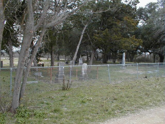
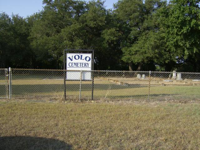

(location photos courtesy of Mary Duke and Joe D. Deaver)
Bell County Cemeteries
[ TXBELL HOME PAGE ] [ CEMETERY CENTRAL ] [ BELL CO ARCHIVES ]
Volo Cemetery
(location photos courtesy of
Mary Duke and
Joe D. Deaver)
CEMETERY DETAILS
| COMMUNITY | East of Sparks |
| STILL IN USE? | Yes |
| LIST OF BURIALS AVAILABLE ONLINE? | Yes |
| GPS Coordinates | 30 55 32 N 097 20 22 W |
| US GEOLOGICAL SURVEY TOPOGRAPHICAL MAP | Available |
| FINDAGRAVE PAGE? | Available |
| TEXAS HISTORICAL MARKERS | No |
SITE/GRAVE PHOTOS
(Thanks to
Mary Duke for the
marker photos!)
RESEARCHERS OF THIS CEMETERY
ADDITIONAL NOTES
Once you turn off Hwy 95 onto Sullivan Rd, continue until you see a fork in the road. You want to take the left road, which is called Volo Rd. (Some maps call this "Volvo" Rd.) You will pass Beadle Lane on the left, then cemetery will be on your right shortly thereafter, but a distance (visible) from Volo Road. There is a mailbox at the drive leading up the cemetery. Keep in mind the cemetery entrance may be on private land.
[ TXBELL HOME PAGE ] [ CEMETERY CENTRAL ] [ BELL CO ARCHIVES ]