photos courtesy of Mary Duke)
Bell County Cemeteries
[ TXBELL HOME PAGE ] [ CEMETERY CENTRAL ] [ BELL CO ARCHIVES ]
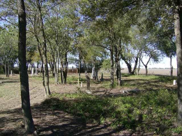
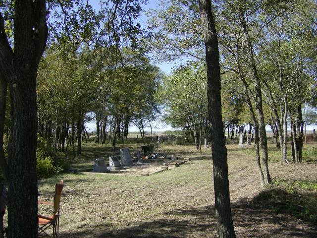
Theo Cemetery
photos courtesy of Mary Duke)
CEMETERY DETAILS
| COMMUNITY | S of Belfalls |
| STILL IN USE? | Yes |
| LIST OF BURIALS AVAILABLE ONLINE? | Yes |
| GPS Coordinates | 31.1444°N, 97.1821°W |
| US GEOLOGICAL SURVEY TOPOGRAPHICAL MAP | Available |
| DIRECTIONAL MAP | Available |
| SATELLITE PHOTO | Available |
| FINDAGRAVE PAGE? | Available |
| TEXAS HISTORICAL MARKERS | Unknown |
SITE/GRAVE PHOTOS
(click link above to view photos from this cemetery!)
RESEARCHERS OF THIS CEMETERY
ADDITIONAL NOTES
This cemetery is barely inside the Bell/Falls County line, on FM 465 at Theo Loop.
Thanks to the following volunteers
for the Fall 2006 cleanup of this cemetery:
Robert Mitchell, Phyllis Cummings, Taylor
Cummings,
Wayne Woodell, Jenna Scott, and Wanda Linkous
(with assistance from the Bell County Work Release program)
Grave marker photos provided by
Robert Mitchell, Phyllis Cummings, and Mary Duke
Photo web pages submitted by Mary Duke
[ TXBELL HOME PAGE ] [ CEMETERY CENTRAL ] [ BELL CO ARCHIVES ]